Explore Oneida County, NY
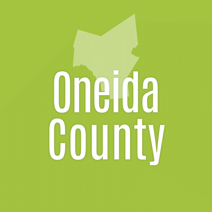
Oneida County Quick Facts
Established in 1798
County seat: Utica
Largest city: Utica
Area
- Total 1,258 sq mi (3,2600 km2)
- Land 1,212 sq mi (3,140 km2)
- Water 45 sq mi (120 km2) 3.6%
Population as of the 2020 census was 232,125.
Oneida County Events

Oneida County Public Market

Whitesboro Farmers Market


Whitesboro Farmers Market


New Hartford Farmers Market


Chestnut Street Farmers Market


Boonville Area Farmers Market
Oneida County, named in honor of the Oneida nation, one of the five nations of the Haudenosaunee Confederacy, embodies the rich stories of its past to guide it into the future.
Oneida County has always been at the center of transportation developments that controlled the growth of New York State and in large measure, the North Eastern United States.
Nearly one hundred miles west of the state capital in Albany, Oneida County holds the upper reaches of the Mohawk River flowing eastward to the Hudson River. The County is also the site of streams flowing west to the Great Lakes, North to the St. Lawrence River, and South to the Susquehanna River. The height of land, in this east-west watershed divide is the site of the City of Rome. A few miles to the east is the site where the Mohawk River is the most fordable for north-south travel, the City of Utica. – Oneida County, NY


