

Governor Hochul Directs State Agencies to Prepare Emergency Response Assets Ahead of Incoming Weather System Expected to Impact New York State Thursday Through the Holiday Weekend
Heavy Rain, Snow, High Winds, Flash Freezing, Flooding and Power Outages All Possible This Week as Winter Storm Moves into New York State
New York’s Utilities Surging Additional 2,200 External Workers to Respond to the Storm
Governor Hochul Urges New Yorkers Preparing to Travel This Week to Plan Ahead and Consider Leaving Earlier than Scheduled to Avoid Hazardous Travel Conditions
Governor Kathy Hochul yesterday directed state agencies to prepare emergency response assets in advance of significant winter weather system expected to create multiple hazards statewide beginning Thursday and continuing through Saturday.
Heavy rain, snow, high winds, flash freezing, and flooding are possible for several regions across the state throughout the holiday weekend. In addition, lake effect snow is expected to impact areas along Lakes Erie and Ontario beginning Friday night and continuing into Monday with total snow accumulations forecast to reach 12″ or more. Beginning Thursday, rain and snow showers are forecast for most of the state with rainfall amounts of up to three inches possible in some places by Friday afternoon. Minor to moderate flooding is possible due to rain and snowmelt, and brief wintry mixes could cause slick travel into early Friday morning. Starting Friday and continuing into Saturday morning, much of the state is expected to see high winds between 40-50 mph and localized gusts up to 70 mph.
On Friday afternoon and evening, temperatures are forecast to drop significantly and flash freezing could cause icy road conditions during the Friday evening commute and travel on Saturday. In addition, beginning Friday night and continuing through Monday, lake effect snow will impact areas off Lakes Erie and Ontario, and strong winds are expected to cause blowing and drifting snow with near zero visibility and localized blizzard conditions. Below normal, freezing temperatures with low wind chills are expected to persist through Monday for upstate regions. Governor Hochul urged New Yorkers to take all necessary precautions, if traveling this week, and plan ahead for potential weather impacts.
“New Yorkers preparing to travel this week to see loved ones over the holiday weekend should plan ahead and leave early, if possible, as we expect this weather system to create hazardous travel conditions throughout the state starting Friday,” said Governor Hochul. “Our State agencies are well coordinated for this response and we are preparing assets and personnel for deployments to impacted regions, if necessary.”
Wind Advisories and High Wind Watches are in effect beginning Thursday for parts of Central New York, Mohawk Valley and the North Country with maximum wind gusts up to 70 mph expected at times. Damaging winds could blow down trees and power lines and widespread power outages are possible. Travel could be difficult in these areas.
New York State Division of Homeland Security and Emergency Services Commissioner Jackie Bray said,
“We are expecting a major winter storm from Thursday through Saturday statewide. I have two messages for New Yorkers – Number one, avoid travel on Friday and Saturday. So, if you need to travel this weekend, do your best to leave on Thursday and stay through at least Sunday. Number 2 – we expect to see high winds, and while we have brought in thousands of additional utility workers, we may experience power outages paired with extremely low temperatures. Please be prepared and check on family and vulnerable neighbors.”
MVT Updates
 Chrome Pony Motorcycle Repair Shop Hosts Grand Opening CelebrationJuly 22, 2026 - 8:37 am
- Boonville-Oneida County FairJuly 21, 2026 - 8:27 am
- Herkimer County Historical Society Announces Exciting Summer ProgramsJuly 20, 2026 - 9:13 am
Featured Events

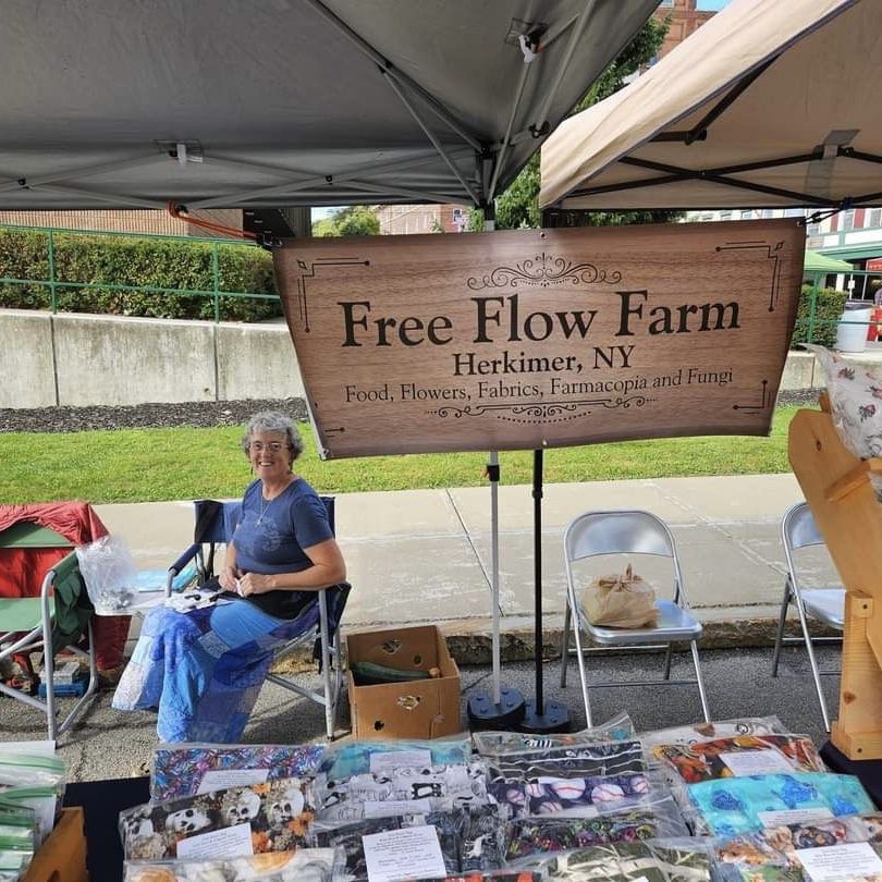
 Image by Clinton Farmers Market
 Fulton County Historical Society and Museum
 Image by Hartwick college


 Glimmerglass First Day Hike 2024.. Photo from Glimmerglass State Park Facebook page