
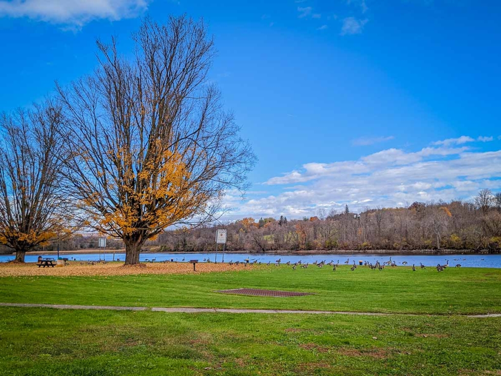
Hit the Trails This Fall and Help Shape the Future of Montgomery County’s Trail Network
Fall is a great time to get outside and explore Montgomery County’s trails, and trail users can now help shape the future of those recreational assets while they’re at it.
Montgomery County has launched the Trail Safety and Connectivity Study, a community initiative focused on better understanding cell phone coverage across the county’s trail network.
Whether you’re walking, hiking, biking, paddling, or snowmobiling, you can help simply by downloading a free app before your next adventure. Look for signs placed along the bike trail that include a QR code for downloading the app.
The app anonymously measures cellular signal strength and location as you travel. It does not collect personal information, and your participation helps create a clearer picture of where coverage is strong and where improvements may be needed.
Why is this important?
Reliable cellular service is more than just convenience. It plays an important role in:
- Improving safety for residents and visitors enjoying our trails.
- Supporting emergency responders when assistance is needed.
- Identifying gaps in connectivity to help guide future infrastructure investments.
- Strengthening Montgomery County’s outdoor recreation and tourism assets.
- As more people discover Montgomery County’s trails, ensuring dependable connectivity helps create a safer, more enjoyable experience for everyone.
How You Can Help
It’s easy.
- Download the free app.
- Turn it on before heading out on the trail.
- Walk, bike, paddle, hike, or snowmobile as you normally would.
Every trip contributes valuable information that will help shape future improvements across our trail system.
Thank you for helping us build a safer, stronger, and more connected trail network for Montgomery County.
Go to: montgomerytrailcoverage.org to download the app.
Published on October 5, 2026.
Support Mohawk Valley Today!

MVT Updates
 Mohawk Valley Featured Weekend EventsOctober 23, 2026 - 8:40 am
- New York State Early Voting October 24 – November 1October 22, 2026 - 7:55 am
- Glimmerglass Film Days 2026Glimmerglass Film Days set for November 11-15 in CooperstownOctober 21, 2026 - 8:31 am


 Glimmerglass Film Days 2026
Featured Events
 Old Forge Library Grief Circle

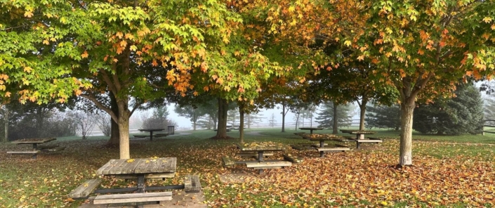

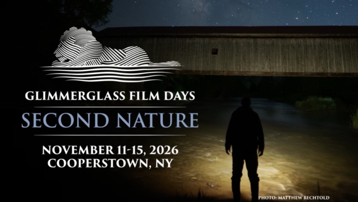
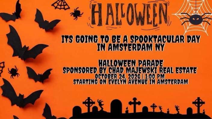
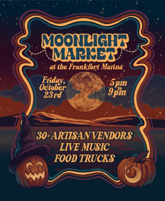



 Image by City of Amsterdam NY