Explore Herkimer County, NY
Herkimer County Quick Facts
Founded in 1791
County seat: Herkimer
Largest village German Flatts
Area
- Total 1,458 sq mi (3,780 km2)
- Land 1,411 sq mi (3,650 km2)
- Water 46 sq mi (120 km2) 3.2%
Population as of the 2020 census was 59,937.
Upcoming Events
 Old Forge Local Art Exhibit Deadline
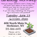
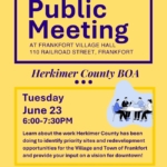 Image by Herkimer IDA
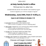 Faith Formation Registration Fair at Holy Family Parish in Little Falls
 Old Forge Pride Event


Herkimer County Updates
 Stone Soup American Bistro in Herkimer, NY


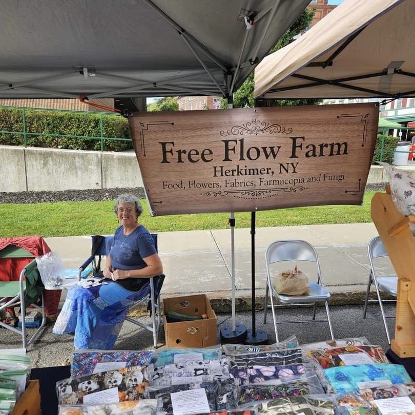
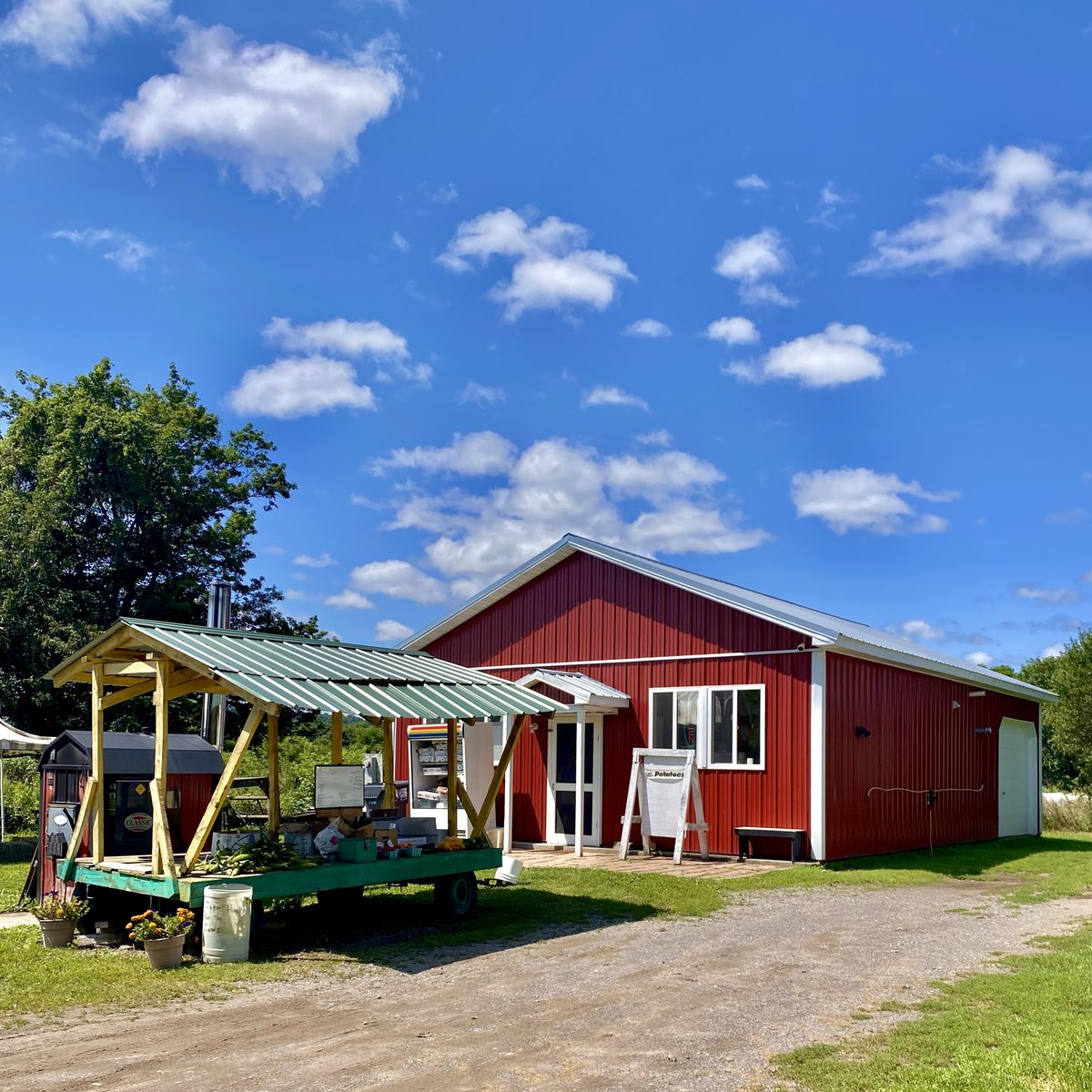
Herkimer County
Farms and Businesses


Named after General Nicholas Herkimer, who died in 1777 from wounds suffered during the Battle of Oriskany during the Revolutionary War.
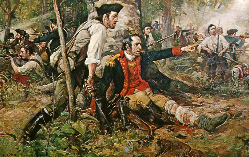
An oil painting titled Herkimer at the Battle of Oriskany. Although wounded, General Nicholas Herkimer rallies the Tryon County militia at the Battle of Oriskany on August 6, 1777. By Frederick Coffay Yohn – Painting at the public library of Utica, New York.
Herkimer County extends from the Mohawk River in the south north into the Adirondack Park. In the Mohawk Valley, it is located between Oneida County and Montgomery County.


")